Services
-
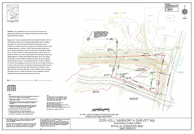
ALTA/NSPS Land Title Surveys
survey is one that is done in conjunction with a title commitment and on a highly developed commercial property. (Apartment complexes, restaurants, malls, etc). The standards are 11 pages long and I have attached the link to the faq. ALTA, American Land Title Association is the legal side of the real estate closing business, and the ACSM,American Congress of Surveying and Mapping, is an extension of the NSPS, National society of professional surveyors. See NSPS - ACSM Standards FAQ's
-
As built surveys
for completed construction projects (subdivisions, apartments, strip malls, etc), usually to determine if all of the contractural specs have been met and the final amounts can be paid. Sometimes the surveys are filed with the city/county building departments.

-
Boundary surveys
determine property boundaries and their relation to the adjoining properties. The difference in our surveys to other surveys is: Most surveyors will determine the subject tract's boundary position (usually from fences, ditches or where told by the land owner) and stake it on the ground with no relation to the adjoining tracts. I plot the subject tract's deed along with all of the adjoiner tracts deeds then start the survey process. After the initial time in the field, I go back to the site to look for corner evidence based on the adjoining deeds to determine errors, gaps, overlaps, or what. The the final stage is to mark the corners, etc.
-
Construction staking
to stake the various aspects, streets, curbs, sewers, drains, lot corners, building corners, and finished dirt grade contours, based on an engineered set of plans for a given subdivision or building project.
-
Design surveys
the initial survey locating existing features for an engineer to design a project. see construction staking.
-
FEMA Flood Elevation Certificates and LOMAs
FEMA elevations certificates/LOMA are FEMA Federal Emergency Management Agency forms relating to properties located within Flood Hazard areas. See FEMA.gov | Federal Emergency Management Agency
-
GPS control surveys
establish project site benchmarks in conjunction with www.usgs.noaa.gov standards. Usually these marks are only published with the final as built surveys. But they are used as "ground zero" for the entire design process.
-
Mortgage surveys
usually for a tract (1 to 5 acres) smaller than the parent tract for a mortgage (mostly a home mortgage). After the melt down of 2006-2008, most mortgage companies won't accept any tract over 5 acres for a loan. They got burned with property resale, management, dumping and other isssues. So basically this is a new boundary survey that never makes it to a deed, only a deed of trust unless the loan is foreclosed.
-
Rezoning & board of adjustment surveys
surveys of existing sites for rezoning by the appropriate authority (some are called Planning Commissions others boards of adjustment). Sometimes, properties are rezoned to allow a home owner to build a garage or storage building on the adjacent lot that he owns. Other times, tracts are rezoned from Agricultural (pastures, crops, timber, etc) to Residential, Commercial, PUD (Planned unit development), or a conditional use permit (which allows a use compatible with the zoning, but they still make you do it such as a cemetery).
-
Subdivisions
for rural areas where subdivision tracts are larger and an engineer is not required by the planning commission for design, drainage, or utilities. In these locations, the surveyor can do all of this layout work, he just can hold him self out as a design professional.
-
Subdivision layout and planning
for rural areas where subdivision tracts are larger and an engineer is not required by the planning commission for design, drainage, or utilities. In these locations, the surveyor can do all of this layout work, he just can hold him self out as a design professional.
-
Topographic surveys and mapping, Tree surveys and Utility surveys
They are where you cross a property usually in a grid pattern so that you locate each tree, utility, dips or dos in the terrain, and everything else. Collierville and Oxford both require tree surveys before issuing a building permit, even in a platted subdivision unless it is new construction.
|
Resources and Affiliations:
|